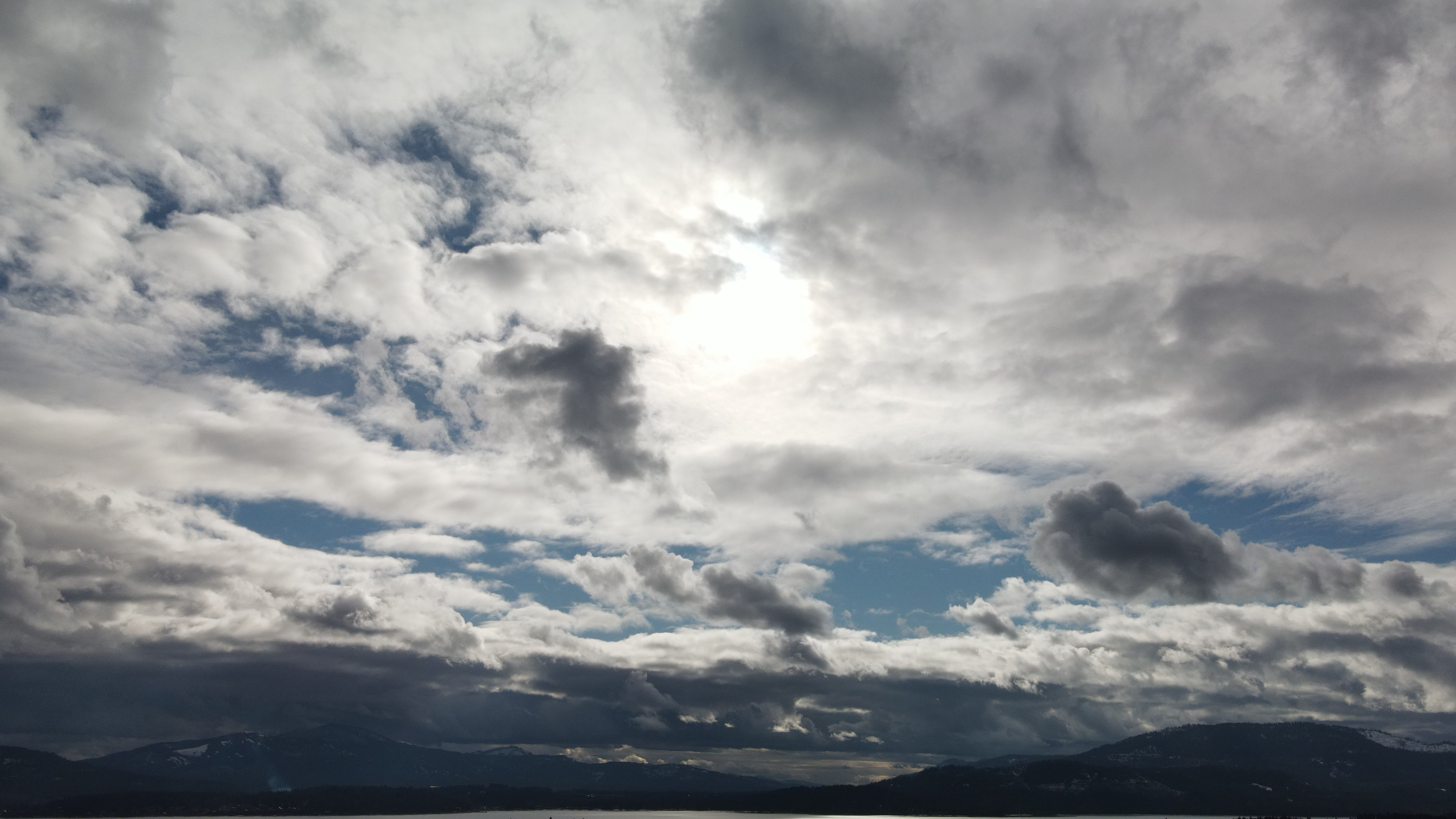
Altocumulus clouds at sunset (7 photos)
Aviation weather reports pointed towards a good sunset. Scattered cumulus clouds gave me the indication it was worth trying to get a sunset picture after a week straight of overcast stratus clouds.
Cloud check
These are the clouds I saw in the middle of the day, and I thought I might be in for a good sunset if that upper layer of clouds cleared up. There is an upper layer of altostratus clouds, but below that are cumulus clouds. These are good puffy clouds, and not the low and hazy, overcast type of clouds which block out the sun altogether. For a good sunset, you need space between clouds in order for the light to land on the sides of the clouds. Otherwise, the “sunset” is actually happening on top of the clouds, and you cannot see any of that action from the ground.
Cumulus clouds are clouds forming in heaps, like cotton balls - fluffy clouds. The prefix alto- just means higher up than the low strato- clouds, but not high enough to be cirro- clouds. Stratiform clouds have a featureless bottom and form in layers. That is how I identified these clouds as Altocumulus stratiformis clouds.
I saw these clouds in the middle of the day and wondered how the sunlight might affect them as the sun sets.
Cloud ID: Altocumulus, Time of photo: 12:47pm; mid-day, about 4 hours before sunset
Cloud ID: Altocumulus stratiformis on the Eastern horizon., Time of photo: 4:39pm; 10 minutes before sunset.

Cloud ID: Altocumulus stratiformis on the Western horizon. Time of photo: 4:36pm; 13 minutes before sunset.

Cloud ID: Altocumulus stratiformis on the Western horizon. Time of photo: 4:50pm; 1 minute after sunset.
In my study I am noticing a trend with red clouds: they only appear after sunset. After the sun is below the horizon the sunlight skims the surface of the earth and travels through the atmosphere – the blue light scatters making the sky blue while the remaining red, orange and yellow light land on the clouds, lighting them up.
The clouds changed quite a bit due to wind between those two photos only 14 minutes apart, even with low reported surface winds at the time. The most aesthetic/ideal photo on this day was 13 minutes before sunset, because the cloud became too dense to let light shine through, producing a dark grey cloud.
A previous hypothesis of mine was that the best sunset photo would include “red” colors - but the golden color before official sunset time was more stunning on this day with reported scattered clouds at 500 feet. Also noteworthy from this day is that “golden hour” was happening 34 minutes before sunset.
Weather report/data:
02-03-2021
- Sunset time: 4:49PM PDT (2021-02-04:0049UTC)
METAR @ sunset time:
- KSZT 040055Z AUTO 00000KT 10SM SCT065 01/M02 A3004 RMK AO2
- KSZT 040035Z AUTO 00000KT 10SM SCT050 03/M02 A3004 RMK AO2
- KSZT 040015Z AUTO 19003KT 10SM SCT060 03/M02 A3003 RMK AO2
The METAR weather report says that at 4:15PM there are Scattered clouds at 600 feet, that’s all that matters to me as a quadcopter pilot, besides the low wind. My visual observations put most of the clouds at 1000 feet, though on the eastern horizon there were lower clouds. The sky was clear directly above me and there were clouds on the eastern and western horizon
Conclusion


The sky cleared up a bit too much and the photos ended up rather empty. Stay tuned for some better sunset photos in the future. None of the photos on this page were altered for color or exposure as this is part of my study of real colors and light.
See my other blog posts
Follow me on instagram: justinmurdock7b
Justin Murdock - Licensed Drone Professional


